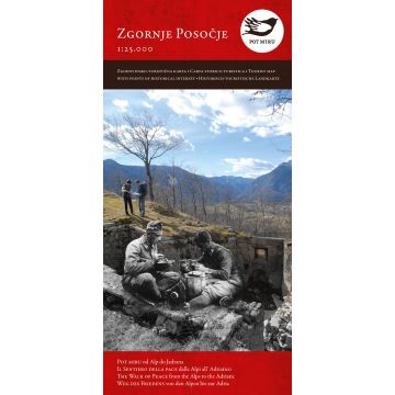
Zgornje Posočje - The Walk of Peace 1:25.000
Friedensweg von den Alpen bis zur Adria

Tags
Historisch-touristische Landkarte für den Weg des Friedens im Abschnitt zwischen Bovec/Flitsch und Tolmin/Tolmein
In 2007, the outdoor museums and the most important remains and memorials of the Isonzo front in the Upper Soča region were interconnected into the Walk of Peace. It is dedicated to the memory of numerous victims of the First World War. Trekking along the about 100 km long Walk of Peace, or only along a part of it, offers to every visitor an active rest in the wonderful, tranquil, unspoiled nature marked with the river Soča, the world of medium-high and high mountains, flocks of sheep and goats, and still active alpine pastures in summer, and the history of the First World War. The walk starts at Log pod Mangartom at the entrance to the mine shaft named Štoln, and ends at the outdoor museum Mengore near Most na Soči. It is divided into five sections and trekking along each of them can be done in one day. It runs past military cemeteries and chapels, Kluže Fortification, outdoor museums, the Koritnica gorge, the Soča gorge, the idyllic mountain alps, the Kozjak fall, two charnel houses, at Kobarid and Tolmin, a memorial church of the Holy Spirit on the Javorca plateau, the Tolminka gorge, etc.
Publisher:
Scale:
1:25.000
Product Type:
Maps
Language:
English, German, Italian, Slovenian
EAN:
9789616730051
Year of publication:
2015
Write Your Own Review
No manufacturer information and safety instructions available yet.