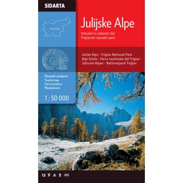
Wanderkarte Julijske Alpe/Julische Alpen 1:50.000
Julische Alpen

Tags
One of the few maps that covers the entire territory of the Julian Alps, from the westernmost Jôf Fuart on the Italian side to the Lake Bled in the east. Beside the waymarked paths, unmarked trails and ski tours the map includes also: sports climbing areas, natural and cultural points of interest and paragliding take-off sites. GPS, WGS84.
Weight:
120 g
Publisher:
Scale:
1:50.000
Product Type:
Maps
Language:
English, Slovenian
EAN:
3830008646309
Year of publication:
2012
Continent: Europe
State / Province: Friuli-Venezia Giulia
Write Your Own Review
No manufacturer information and safety instructions available yet.