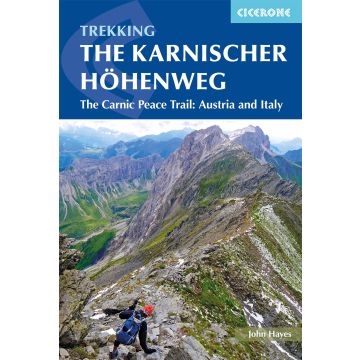
Trekking the Karnischer Höhenweg
/
A 1-2 week trek on the Carnic Peace Trail: Austria and Italy

Trekking the Karnischer Höhenweg

/
9781852849429
A 1-2 week trek on the Carnic Peace Trail: Austria and Italy
€24.90
incl. VAT
deliverable
Delivery in 1 to 4 business days
Tags
Guide Italia Italy Italien Hohe Tauern Hiking Trekking Wanderführer Wandern Wanderungen Wanderwege weitwanderführer Weitwandern Führer Austria koroška Friuli-Venezia Giulia Geschichte Outdoor südalpen Erster Weltkrieg Gebirgskrieg Italienfront World War One Plöckenpass Carnia Südliche Kalkalpen Via Alpina Alpi Carniche Hohe Warte Karnischer Hauptkamm Karnischer Höhenweg Passo di Pramollo Roter Weg Südalpenweg walk Friedensweg FVG Arnoldstein dolomites hike
The Carnic Peace Trail: Austria and Italy

This guidebook describes the Karnischer Höhenweg, a 170km long-distance walk through the beautiful Carnic Alps which straddle the border between Austria and Italy. Following a high Alpine trail along the main ridge, the route is clearly waymarked and requires a reasonable level of fitness, a sense of adventure and a head for heights, but no special equipment or technical expertise. It can be walked between mid-July and the end of September and takes up to a fortnight, though it is possible to devise shorter itineraries taking in the highlights.

The guide describes the full route of the Karnischer Höhenweg from Arnbach, near Sillian, to Arnoldstein, near Villach, and includes plenty of practical information to help you prepare for the walk. Each stage features comprehensive route description, clear mapping and fascinating insights into the history of the 'war in the mountains' plus other local points of interest. Accommodation listings and other useful contacts can be found in the appendices.

Also known as the Friedensweg ('Peace Trail'), the route follows the First World War front line, and reminders of the conflict are everywhere. But the trail isn't just rich in historical interest: this is Alpine ridge-walking at its best, boasting spectacular mountain vistas and views of the Dolomites, Hohe Tauern and Julian Alps. The guide covers two key variants of the trail, one on the Austrian side of the border, the other on the Italian side. Also included is an optional ascent of Monte Coglians, the highest peak in the Carnic Alps, and a visit to the open-air museum at the Plöckenpass.

A guidebook to trekking the Karnischer Höhenweg, or Carnic Peace Trail. The 170km hut-to-hut trail follows the World War I front line through the Carnic Alps, along the border of Austria and Italy, and is rich in historical, geological and cultural interest. It can be hiked in 1–2 weeks and is suitable for walkers with a reasonable level of fitness, a sense of adventure and a head for heights.

The guidebook covers both the Austrian variant, which is presented in 8 day stages, and the Italian variant, presented over 10 days, with stages ranging from 6 to 28km. Also included are optional detours to climb neighbouring peaks, such as Monte Coglians.

  • 1:50,000 mapping and elevation profile provided for each stage
  • GPX files available to download
  • Handy route summary tables help you plan your itinerary
  • Accommodation listings included
  • Advice on planning and preparation
Weight:
200 g
Author:
Publisher:
Product Type:
Books
Language:
English
EAN:
9781852849429
Pages:
160
hoehe_mm:
172
breite_mm:
116
Year of publication:
2018
Write Your Own Review