Trekking in the Canary Islands
The GR131 island-hopping route
Tags
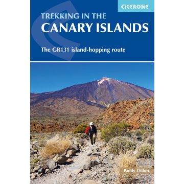
This guidebook provides a comprehensive and detailed description of the GR131, an island-hopping trail across the seven Canary Islands. The 560km (348 mile) route begins on Lanzarote and finishes on El Hierro and is presented in 32 daily stages. The route is well waymarked but some navigational skills are required, and the remote and occasional rocky sections need to be treated with care. Also included is an optional ascent of El Teide, the highest peak on Spanish territory at 3718m.
The guide is split into seven parts, one for each island. Overview statistics, detailed navigational description and 1:50,000 mapping is provided for each stage and the guide also includes key information about transport to and between the Canary Islands and availability of accommodation and services. There is background information on the geology, history, plants and wildlife and notes on local points of interest. An appendix contains a helpful glossary.
As a geologically young area, the Canaries boast rare wildlife across their dramatic volcanic terrain. The islands contain a number of national parks, and the landscape varies from semi-desert to forests and barren mountainsides. This month-long route is a great opportunity for walkers to fully immerse themselves in the diverse culture and scenery of the Canary Islands.
Pages/Seitenzahl: 272
Size/Maße: 17.2 x 11.6 x 1.6cm
Weight/Gewicht: 300g
A guidebook to trekking the 560km (348 mile) GR131 across the Canary Islands. The island-hopping long-distance trail crosses Lanzarote, Fuerteventura, Gran Canaria, Tenerife, La Gomera, La Palma and El Hierro and can be hiked in around a month, or split into shorter sections. Most of the route uses quiet roads, tracks and old mule paths, but there are some remote stretches, as well as occasional steep and rocky mountain paths.
The route is presented in 32 stages of between 7 and 30km (4–18 miles). Also included is an optional ascent of Spain’s highest peak, El Teide on Tenerife.
- Clear route description illustrated with 1:50,000 mapping
- GPX files available to download
- Notes on accommodation, refreshments and local transport
- Information on ferry transfers between the islands
- Sized to easily fit in a jacket pocket
Weight:
300 g
Author:
Publisher:
Series:
Product Type:
Books
Language:
English
EAN:
9781852847654
Pages:
272
hoehe_mm:
172
breite_mm:
116
Year of publication:
2020
Continent: Europe
Country: Spain
State / Province: Canary Islands
Places / Mountains / Lakes: Arona, Valverde, Islote de Lobos, San Sebastián de La Gomera, Fuencaliente, Vallehermoso, Chipude, Vilaflor, Teguise, Yaiza, Tamadaba, Puerto de las Nieves, Roque de Los Muchachos, Teide
Categories: Hiking Guides, Long Distance Hiking
Write Your Own Review
No manufacturer information and safety instructions available yet.