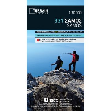
Terrain Map 331, Sámos 1:30.000
waterproof, rip-proof

Tags
This is the official hiking map of the “Samos Hikes” network, a network of signposted hiking trails developed by TERRAIN Trails on the gorgeous island of Samos in 2019-2020. At the detailed scale of 1:30.000, this map depicts all the 40 hiking trails of the “Samos Hikes” network with colour shading and numbering signs. It also includes a comprehensive table with all the essential information of the trails (location, length, hiking time) and a reference map of the whole network.
As with all the hiking and touring maps published by TERRAIN Editions, an amazing wealth of information is shown.
• All hiking trails, including non-marked ones, graded between main and narrow trails and indicated with point-to-point distances, so you can plan your own hiking itinerary.
• The complete road network, including the dense network of forest roads in the mountainous inland of Samos
• All the beaches, even the most remote ones
• All places of interest, cultural, historical and natural sights
Weight:
76 g
Publisher:
Series:
Scale:
1:30.000
Product Type:
Maps
Language:
English, Modern Greek
EAN:
9786185160166
Year of publication:
2023
Write Your Own Review
No manufacturer information and safety instructions available yet.