Sustrans Cycle Map 51, Derry/Londonderry & The North West 1:110.000
Nordirland
Tags
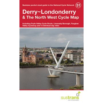
Derry/Londonderry & The North West Pocket Cycle Map
This area map shows the National Cycle Network and local routes in this area. It covers the north west of Northern Ireland including Derry/Londonderry, Foyle Valley Cycle Route, Limavady, Faughan Valley Cycleway.
This pocket-sized colour map shows clearly mapped on-road and traffic-free paths, easy to read contours, and detailed inset maps for the major towns and cities as well as recommended linking routes connecting the NCN with quiet roads. The map also features 5 day rides with directions and a description of the area, highlighting key cycle routes, local history and places of interest.
Publisher:
Series:
Scale:
1:110.000
Product Type:
Maps
Language:
English
EAN:
9781910845257
Year of publication:
2016
Continent: Europe
Country: Ireland, United Kingdom (Great Britain)
State / Province: Northern Ireland
Categories: Cycling Maps United Kingdom
Write Your Own Review
No manufacturer information and safety instructions available yet.