Tags
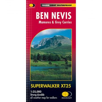
Detailed map for hillwalkers of Ben Nevis, the Grey Corries and the Mamores at the popular 1:25,000 scale. It includes Fort William, Spean Bridge and Kinlochleven.
Enlargement of the summit of Ben Nevis at 1:12,500 showing the bad visibility descent route.
As used by Lochaber Mountain Rescue Team.
Includes 23 Munros and 6 Corbetts
Scale: 1:25.000
Ratio: 4cm = 1km
Flat size: 1276 x 486mm
Folded size: 116 x 243mm
Weight: 60gms
Area of mapping: 575sqkm
Double sided
Publisher:
Series:
Scale:
1:25.000
Product Type:
Maps
EAN:
9781851374021
Year of publication:
2014
Continent: Europe
Country: United Kingdom (Great Britain)
State / Province: Scotland
Region: Highlands
Places / Mountains / Lakes: Ben Nevis
Write Your Own Review
No manufacturer information and safety instructions available yet.