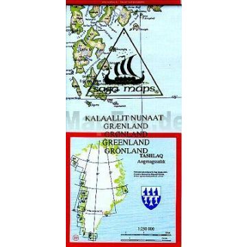
Saga Map 19 Grönland, Tasiilaq, Angmagssalik 1:250.000
Ostgrönland
Tags
die Karten aus dem Jahr 2003 sind nur 1:1-Nachdrucke der Auflage aus dem Jahr 1999.
SAGA Maps A Danish map that, based on Kort & Matrikelstyrelsens maps, covers all of the westcoast of Greenland plus two areas on the eastcoast in the scale 1:250.000. The maps are good for an overview, with contour lines and names in Danish and Greenlandic. It is also possible to have the maps in folders with four in each or all together in a box.
Continent: North America
Country: Denmark
State / Province: Greenland
Region: Greenland, Ostgrönland
Places / Mountains / Lakes: Tasiilaq
Write Your Own Review
No manufacturer information and safety instructions available yet.


