Tags
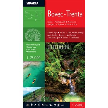
The map is printed on both sides. It covers the area of the Bovec basin, the Trenta valley and the Jôf Fuart and Montasio groups in the Western Julian Alps. Beside the waymarked mountain paths, unmarked trails the map includes also trails Via Alpina, Soča trail, Alpe-Adria, The walk of Peace and waymarked foothpaths, bicycle routes, tralsports climbing areas, entry and exit points for kayakers, natural and cultural points of interest and paragliding take-off sites. GPS, WGS 84.
Weight:
60 g
Publisher:
Series:
Scale:
1:25.000
Product Type:
Maps
Language:
English, Slovenian
EAN:
3830008646361
Year of publication:
2015
Continent: Europe
State / Province: Friuli-Venezia Giulia
Region: Julische Alpen, socatal
Places / Mountains / Lakes: Mangart, Bovec, Trenta, Jalovec, Kanin, Montasch, Sella Nevea, Cave del Predil, Passo del Predil
Write Your Own Review
No manufacturer information and safety instructions available yet.


