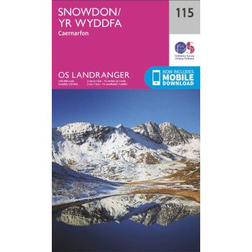
OS Landranger Map 115, Snowdon/Yr Wyddfa 1:50.000
höchster Berg von Wales

Tags
The Landranger Map of Snowdon is the perfect companion for planning your next walking trip or holiday in Northern Snowdonia. This map comes in both English & Welsh and some of its highlights include Bangor, Caernarfon, Anglesey, and of course Snowdon.
It contains key information so you can immerse yourself in the beautiful valleys and discover the majestic mountainside. Take one the challenge of Snowdon, or simply admire the beauty of Northern Snowdonia.
Our Landranger maps come in standard or Weatherproof Active, you'll also receive a free download for your devices — making for a convenient companion.
Weight:
110 g
Publisher:
Series:
Scale:
1:50.000
Product Type:
Maps
Language:
English
EAN:
9780319262139
Year of publication:
2016
Write Your Own Review
No manufacturer information and safety instructions available yet.


