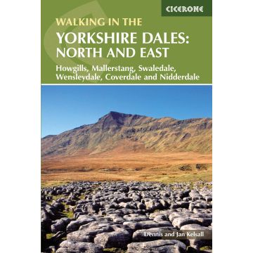
Kelsall Dennis, Jan Kelsall - The Yorkshire Dales: North and East
Howgills, Mallerstang, Swaledale, Wensleydale, Coverdale and Nidderdale

Tags
A guidebook to 43 walks in the north and east of the Yorkshire Dales, covering the Howgills, Mallerstang, Swaledale, Wensleydale and Nidderdale. Most routes are easy or moderate, although there are a handful of more demanding outings crossing rugged upland terrain.
The walks, all easily accessible from Kirkby Stephen, Sedburgh, Pateley Bridge and Aysgarth, range from 5 to 19km (3–12 miles) and can be enjoyed in 2–5 hours. Several walks can be combined with another to create a longer route.
- 1:50,000 OS maps included for each walk
- Sized to easily fit in a jacket pocket
- Notes on refreshments and parking
- Information on the region’s rich geology, history, plantlife and wildlife
- Part of a 2-volume set – an accompanying Cicerone guidebook Walking in the Yorkshire Dales: South and West is also available
Weight:
300 g
Author:
Publisher:
Series:
Product Type:
Books
EAN:
9781852847982
hoehe_mm:
172
breite_mm:
116
Year of publication:
2015
Continent: Europe
Country: United Kingdom (Great Britain)
State / Province: England
Places / Mountains / Lakes: London
Categories: Hiking Guides
Write Your Own Review
Manufacturer
- Name: Cicerone Press Ltd.
- Address: Juniper House, Murley Moss Business Village, Oxenholme Road, LA9 7RL Kendal, Cumbria, Vereinigtes Königreich
- Email: info@cicerone.co.uk
Responsible for the EU
- Name: Easy Access Systems Europe
- Address: Mustamäe tee 50, 10621 Tallinn, Estland
- Email: gpsr.requests@easproject.com