Tags
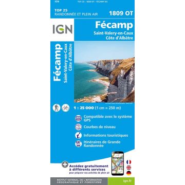
L'indispensable carte de randonnée ! Ces cartes topographiques d'une très grande précision contiennent tous les détails existants sur le terrain, les sentiers balisés et des informations touristiques. Sans oublier la représentation du relief par des courbes de niveau.
Weight:
99 g
Publisher:
Series:
Scale:
1:25.000
Product Type:
Maps
Language:
English, French, German
EAN:
9782758553649
Year of publication:
2023
Write Your Own Review
No manufacturer information and safety instructions available yet.
