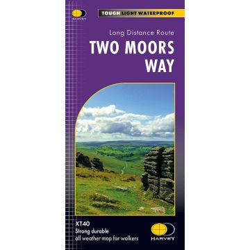
Harvey Maps XT40 Two Moors Way 1:40.000
long distance route map

Tags
Entire route on one map
The Two Moors Way is a long-distance walking route between Ivybridge on the southern edge of Dartmoor and Lynmouth on the north coast of Exmoor.
It has a total length of 163km (102 miles), making it an ideal week's walk.
The Way links Dartmoor and Exmoor National Parks and passes through varied terrain: high moorland, wooded valleys, and unspoilt rural scenery with a remote and tranquil feel.
The Two Moors Way is a long-distance walking route between Ivybridge on the southern edge of Dartmoor and Lynmouth on the north coast of Exmoor. It has a total length of 102 miles (163km), making it an ideal week's walk.
The Way links Dartmoor and Exmoor National Parks and passes through varied terrain: high moorland, wooded valleys, and unspoilt rural scenery with a remote and tranquil feel. There are one or two strenuous stretches and some unwaymarked open moorland requiring navigation skills.
These maps are a leap forward in technical excellence. They are tough, durable, light, and 100% waterproof - virtually indestructible in normal use. They are light to carry, and compact not the great bulky package you get with a laminated map. The 1:40,000 map is detailed, with the route clearly marked. It also contains general information and useful telephone numbers to assist with planning, and a full key.
Weight:
53 g
Publisher:
Scale:
1:40.000
Language:
English
EAN:
9781851376469
Year of publication:
2021
Categories: Outdoor, Hiking Maps Europe
Write Your Own Review
No manufacturer information and safety instructions available yet.