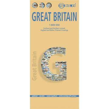
Great Britain, Großbritannien, Borch Map
England & Wales, Scotland & Northern Ireland, English Channel

Tags
Our laminated and folded Borch Map of Great Britain in the 13th edition contains: Scotland and Northern Ireland 1:800 000, England and Wales 1:800 000, ferry routes over the English Channel 1:800 000, an administrative map of Great Britain and Irelnd and the time zones in Europe. Borch Maps contain a multitude of interesting and useful information, highly detailed and user-friendly cartography, but also statistics, conversion tables, climate data and numerous detail maps, making a Borch Map an excellent travel companion. Map format (open): 990 x 685 mm.
Weight:
97 g
Publisher:
Series:
Scale:
1:800.000
Product Type:
Maps
Language:
English, French, German, Italian, Spanish
EAN:
9783866093157
hoehe_mm:
243
breite_mm:
110
Year of publication:
2014
Categories: Road Maps, Road Maps United Kingdom
Write Your Own Review
No manufacturer information and safety instructions available yet.


