EuroVelo 6 (Atlantic - Basel) 1:100 000
Cycle Map Set (6 Maps) 1:100 000 / de l’Atlantique au Rhin à Vélo / vom Atlantik bis zum Rhein per Rad / from Atlantic to Rhine River by Bike
Tags
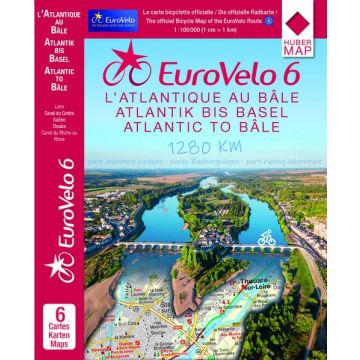
In this 6-part cycle map set, you will experience one of the most beautiful and relaxing cycle routes along the EuroVelo 6 route across France. From the Atlantic Ocean along the Loire, the Canal du Centre in Burgundy, the Saône, through the valleys of the Doubs to the Rhine-Rhône Canal in Alsace to Basel.
EuroVelo 6 is currently the first and only EuroVelo route to be available in its entirety at a scale of 1:100,000 within a cycle map series. The handy maps follow the course of the route in 3 sets on 24 map sheets with a total length of 42 metres.
A well thought-out concept: the map section adapted to the course of the river is large enough to be read easily at a distance from the handlebars.
Of course, you will also find other useful information along the route, such as places to stay overnight, places of interest, bike repair shops or city map sections of larger towns.
Weight:
350 g
Author:
Publisher:
Series:
Scale:
1:100.000
Product Type:
Maps
Language:
English, French, German
EAN:
9783943752007
hoehe_mm:
185
breite_mm:
135
Year of publication:
2017
Continent: Europe
Country: France, Switzerland
Places / Mountains / Lakes: Montbéliard, Basel, Nevers, Angers, Tours, Blois, Mülhausen, Saumur, Altkirch, Belleville-sur-Loire, Paray-le-Monial, Dole, Ancenis, Gien, Decise, Blanzy, Loire-Mündung, nantes, Orleans
Write Your Own Review
No manufacturer information and safety instructions available yet.