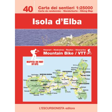
Escursionista-Karte 40, Isola d'Elba 1:25.000
Wander- & Bike-Karte

Tags
Carta dei sentieri - Carte de randonnée - Wanderkarte - Hiking Map
Wander- & Mountainbike-Karte für die Insel Elba mit einem Beiheft zur Großen Elba-Durchquerung GTE in deutscher Sprache.
- Edition: Second
- Year: 2018
- Size: 11x16 (guide-book) - 84x115 (map)
- Pages: 36 (guide-book) + 1:25.000 (map)
- Photo: Color
- Binding: Stapled
- ISBN: 9788898520435
- Code: ESC22I
Weight:
80 g
Publisher:
Series:
Scale:
1:25.000
Product Type:
Maps
Language:
German
EAN:
9788898520442
hoehe_mm:
160
breite_mm:
110
hoehe_mm_offen:
840
breite_mm_offen:
110
Year of publication:
2018
Write Your Own Review
No manufacturer information and safety instructions available yet.