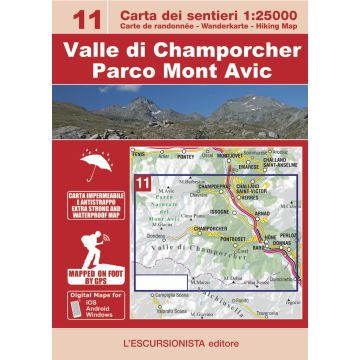
Escursionista-Karte 11, Valle di Champorcher, Parco Mont Avic 1:25.000
Aostatal
Tags
Valle di Champorcher / Parco del Mont Avic hiking map at a 1:25.000 scale with a WGS84 grid (1km). All data has been gathered by walking each route with a GPS device.
64 page guide-book which includes 3 long-distance hikes: The great loop of the natural park of Mont Avic, Between the lower Aosta Valley and Champorcher, The natural park of Mount Avic. Including a list of itineraries, trail-markers and durations.
- Size/Maße: 11x16 (guide-book) - 70x100 (map)
- Pages/Seitenzahl: 64 (guide-book) + 1:25.000 (map)
- Photo: Black & white
- Binding: Stapled
- ISBN: 9788898520725
- Code: ESC11
Weight:
177 g
Publisher:
Series:
Scale:
1:25.000
Product Type:
Maps
Language:
English, French, German, Italian
EAN:
9788898520725
Pages:
64
hoehe_mm:
160
breite_mm:
110
hoehe_mm_offen:
700
breite_mm_offen:
110
Year of publication:
2022
Continent: Europe
Country: Italy
State / Province: Aosta Valley
Region: Grajische Alpen, Aosta Valley
Places / Mountains / Lakes: Mont Avic, Valle di Champorcher, Arnad, Bard, Issogne, Pontboset, Donnas, Champdepraz, Hône
Write Your Own Review
No manufacturer information and safety instructions available yet.


