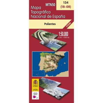
CNIG-Karte MTN50 134, Polientes 1:50.000
Altkastilien

CNIG-Karte MTN50 134, Polientes 1:50.000

9788441618770
Altkastilien
€7.90
incl. VAT
deliverable
Delivery in 7 to 14 business days
Tags
Karte Map Castilla y León Espana Spain Hiking Wandern Wanderungen Wanderwege topografisch Wanderkarte Outdoor Ebre Ebro-Tal nordspanien Castilla Kantabrisches Gebirge Instituto Geográfico Nacional Mapa Topográfico Nacional de España
Mapa Topográfico Nacional de España MTN50 134

Descripción: Serie cartográfica nacional a escala 1:50.000, con hojas desde la 1 a la 1111. Las dimensiones de cada hoja son 10 min de latitud por 20 min de longitud. Proyección UTM. Incluye sombreado de relieve.

amtliche spanische topografische Karte
Publisher:
Series:
Scale:
1:50.000
Product Type:
Maps
Language:
Spanish
EAN:
9788441618770
Year of publication:
2007
Continent: Europe
Country: Spain
State / Province: Cantabria, Castile and León
Write Your Own Review
No manufacturer information and safety instructions available yet.