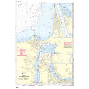
BSH Seekarte Nr. 1672 (INT. 1355), Hafen von Rostock 1:12.500
Ostsee

Tags
Amtliche deutsche Seekarte des Bundesamtes für Seeschifffahrt und Hydrographie für den Bereich des Hafens von Rostock (Ostsee).
Publisher:
Series:
Scale:
1:12.500
Product Type:
Seekarten - plano
Language:
German
EAN:
9783869876825
hoehe_mm:
841
breite_mm:
1189
Year of publication:
2020
Continent: Europe
Country: Germany
State / Province: Mecklenburg-Vorpommern
Region: Mecklenburg, Deutsche Ostseeküste
Places / Mountains / Lakes: Rostock
Write Your Own Review
No manufacturer information and safety instructions available yet.