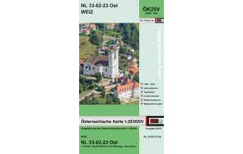
BEV-Karte 4230-West, Gleisdorf 1:25.000
NL 33-02-30 West

BEV-Karte 4230-West, Gleisdorf 1:25.000

9007868052623
NL 33-02-30 West
€9.90
incl. VAT
deliverable
Delivery in 1 to 4 business days
Tags
Karte Map Hiking Wandern topografisch Wanderkarte Austria Outdoor Landkarte Raab Rába Raabtal BEV Bundesamtskarten ÖK25V Österreichische Karte 1:25.000V Topographische Karte NL 33-02-30 West ÖK-25-V
Topographische Karte - Wanderkarte
  • UTM - GNSS
  • Wegmarkierungen
  • Straßenaufdruck
  • Krankenhäuser
  • Apotheken
  • Nationalparks
  • GPS-fähig
Die Österreichische Karte 1:25 000V eignet sich als ideale Planungsgrundlage für Wanderungen, Bergtouren, im Freizeitbereich und zur Orientierung in der Natur, sowie als Hilfsmittel für diverse thematische Anwendungen und zur Datenerfassung.

Vergrößerung der Österreichischen Karte 1:50 000 - doppelseitig bedruckt.

Weight:
80 g
Scale:
1:25.000
Product Type:
Maps
Language:
English, German
EAN:
9007868052623
hoehe_mm:
190
breite_mm:
120
hoehe_mm_offen:
570
breite_mm_offen:
120
Year of publication:
2015
Continent: Europe
Country: Austria
State / Province: Styria
Places / Mountains / Lakes: Gleisdorf, Pischelsdorf, Sinabelkirchen, Kleeberg, Hirnsdorf
Categories: Hiking Maps Styria
Write Your Own Review
No manufacturer information and safety instructions available yet.