Anavasi Topo Map 1.21/1.22, Northern Imittos 1:10.000
Attika
Tags
The new hiking map of Mt Imitos in a scale of 1:10 000 covers the whole mountain.
It is a combination of two maps in a folder: the map of the Northern Imitos covering the area of Agia Paraskevi to Ilioupoli and map of Southern Imitos extending between Ilioupoli, Argyroupoli, Glyfada, Voula and Koropi.
Hiking and cycling routes are suggested and shown in detail. The mountain s points of interest such as caves, sinkholes and archaeological sites are pinpointed on the map.
The map is printed on waterproof "polyart" paper.
Publisher:
Series:
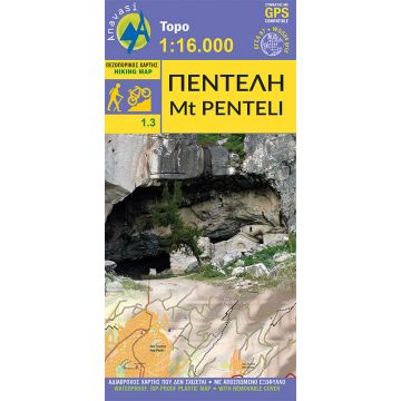
Scale:
1:16.000
Product Type:
Maps
Language:
English, Modern Greek
EAN:
9789609412537
Year of publication:
2017