Tags
Hiking map of Anafi island in a scale of 1:25.000.
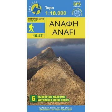
The hiking map of Anafi [10.47] in scale 1:25.000 by Anavasi will lead you safely to the wonders of the island through the recently waymarked netword of footpaths. Anafi is said to have emerged from the angry waves at the command of the god Apollo to save the Argonauts. Today Anaf is a haven for its few residents and visitors seeking intimacy with nature.
With its wonderful beaches, interesting archaeological sites, the sparkling Chora and above all the highest monolith in the eastern Mediterranean with the tiny chapel of Kalamiotissa at the top, Anafi is a case of love at first sight.
Publisher:
Series:
Scale:
1:18.000
Product Type:
Maps
Language:
English, French, German, Italian, Modern Greek
EAN:
9789609412650
hoehe_mm_offen:
500
Year of publication:
2025
Write Your Own Review
No manufacturer information and safety instructions available yet.