Tags
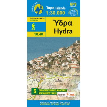
The hiking map of Hydra by Anavasi editions is now in a scale 1:30 000 and fully updated. It shows the network of waymarked paths, beaches, places of interest on the backgroung of a clear topographical map. On the back of the map, find a handy city plan and the routes of Hydra trail running race. All hiking trails are explained by comments, text and photos.
The map is printed on waterproof "polyart" paper.
Weight:
46 g
Publisher:
Series:
Scale:
1:25.000
Product Type:
Maps
Language:
English, French, German, Italian, Modern Greek
EAN:
9789608195721
Year of publication:
2017
Continent: Europe
Country: Greece
Region: Griechische Inseln, Aegean Sea
Places / Mountains / Lakes: Hydra
Write Your Own Review
No manufacturer information and safety instructions available yet.
