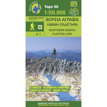
Anavasi Topo 50 Map 4.1, Northern Ágrafa, Plastíra Lake 1:50.000
Wanderkarte für das nördliche Agrafa-Gebirge
Tags
The hiking map Northern Agrafa - Lake Plastira [4.1] comprises the northern section of the mountain range of Agrafa with peaks Karavoula, Karava, Kazarma and Voutsikaki. To the east of these mountains a large step is formed in which lies the artificial lake of Tavropos - named after general Nikolaos Plastiras. Over the last few years the lake-shore zone has become a popular tourist destination, while the surrounding upland regions retain an interesting variety of hiking routes with a majestic backdrop of mountains.
Publisher:
Series:
Scale:
1:50.000
Product Type:
Maps
Language:
English, French, Italian, Modern Greek
EAN:
9789609137928
Year of publication:
2014
Write Your Own Review
No manufacturer information and safety instructions available yet.