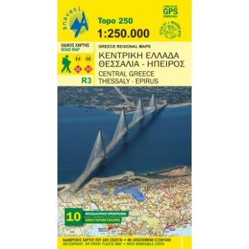
Anavasi Topo 250 Map R3, Central Greece/Mittelgriechenland, Thessaly/Thessalien, Epirus 1:250.000

Tags
New edition of the regional map Central Greece - Thessaly - Epirus. A very useful map in the series Topo250, which covers half of mainland Greece, from Konitsa to Katerini in the north and from Messolongi to Thiva in the south. Includes all new motorways (Egnatia, Ionian, Central Greece, Athens-Salonika), shaded relief with names of mountains, lakes and rivers, towns and villages, monasteries, monuments, national parks, European (E4, E6) and national (O1, O2, O3) trails, mountain refuges, ski resorts and more.
Along with the map, 10 proposals for excursions to the most beautiful destinations for nature escapes in the area covered by the map.
Weight:
109 g
Publisher:
Scale:
1:250.000
Product Type:
Maps
Language:
English, Modern Greek
EAN:
9789609412063
Write Your Own Review
No manufacturer information and safety instructions available yet.


