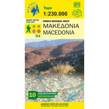
Anavasi Regional Map Macedonia/Griechisch-Makedonien 1:250.000
Nordgriechenland

Tags
The road map of Macedonial on a scale of 1:230.000, covers the entire region of Macedonia from the Pindus mountain range to the Nestos river. The map depicts the topography with a coloured shaded relief, the new administrative divisions, new roads, settlements, monuments and major place-names, national parks, ski resorts, mountain refuges, the course of the European paths E4 and E6, and wineries that are open to the public. Contact details of the wineries are included in the booklet, along with the settlements index. On the side of the map selected nature escapes are presented.
Auflage: 2016
Weight:
135 g
Publisher:
Series:
Scale:
1:250.000
Product Type:
Maps
Language:
English, French, German, Modern Greek
EAN:
9789609412100
Year of publication:
2020
Write Your Own Review
No manufacturer information and safety instructions available yet.


