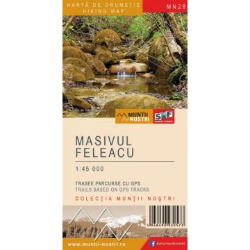
Wanderkarte MN-28, Masivul Feleacu 1:45.000
Siebenbürgen
Tags
Feleacu Massif, also called Feleacului Hills, is a threshold between the Apuseni Mountains and the Transylvanian Depression. To the north it is bordered by the Hills of Cluj and Dej through Somesul Mic River; to the east by the Transylvanian Plain through Zapodie Valley, Martinesti Valley and Racilor Valley; to the south and west by Hasdate Valley and Fenes Valley (Vlaha - Hasdate Depression was formed along these valleys).
Feleacu Massif is a mass of crystalline schists well hidden by Miocene - Oligocene sedimentary formations. The Sarmatian sands and clays dominate the massif, in which the Feleac sandstone concretions were formed by diagenesis. Crystalline shales appear to the surface only on the highest peaks of the massif.
The highest peaks in the massif are: Peana Peak 832 m, Magura Peak 824 m, Recea Peak 759 m and Dealul Feleacului 744 m. In terms of tourism, Feleacu Massif is an important place for walking and cycling for the inhabitants of Cluj-Napoca. The most important places to visit are: Faget Forest (Bükk) with many paths and springs, Cetatea Fetei area with a fortress ruin, Magura Peak with a viewpoint of the Apuseni Mountains, Caprioara Valley (unmarked) with many concretions along the riverbed, and the nature reserves.
The map of Feleacu Massif (MN28) is the 28rd map of the new Muntii Nostri collection.
The map was edited using the latest mapping techniques and it was printed on moisture resistant paper. It is easy to read and simple to use due to the mapping styles, specific to Schubert & Franzke company, and as a result of practical information structuring. It is handy and everything is exactly where it should be. The map is useful for both hiking enthusiasts and professionals.
All the trails have been recorded in the field using a GPS. They are described in detail in both Romanian and English. Each trail has a technical box containing with necessary information. The map also contains the UTM grid, a projected coordinate metric system useful in the quick measurement of distances on the map.
The application created for iOS and Android will dissipate the nostalgic aura of the map, giving the product the technical complexity required for this century.
Enjoy this map up on the sunny peaks of Feleacu Massif, scrutinizing the horizon for the neighboring peaks, which will soon give the names of the following maps of Muntii Nostri hiking map collection.
Gewicht:
50 g
Reihe:
Maßstab:
1:45000
Medienart:
Karten
Sprache:
Englisch, Rumänisch
EAN:
5948490930573
Erscheinungsjahr:
2022
Schreibe deine eigene Bewertung
Noch keine Herstellerangaben und Sicherheitshinweise verfügbar.