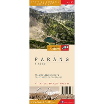
Wanderkarte MN-12, Parâng 1:50.000
Südkarpaten

Tags
Parang Mountains are located between the Jiu Valley to the west and Oltet and Lotru rivers to the east. To the north, they are bordered by the Sureanu Mountains and to the south by the East Jiu Valley, through Novaci and Baia de Fier depressions.
They are crossed by the highest alpine road in our country, the Transalpina, which goes up to 2,200 m, offering incredible panoramic views.
The Parang Mountains are the most rugged mountains in the group that stretches between Jiu, Strei and Olt rivers. The highest peak that reaches 2,519 m dominates the horizons of Gorj and Valcea surroundings and can be compared with the impressive fortress of the Retezat. The Parang consists of a peak higher than 2,500 meters, Parangul Mare (2,519 m), the fourth highest peak in Romania, three peaks over 2,400 meters: Gemanarea (2.426 m), Stoinita (2,421 m) and Carja (2,405 m), and approximately 15 peaks over 2,300 m in elevation.
There are many glacial lakes in the Parang: Rosiile, Calcescu, Mija, Verde lakes, etc. Lotru, Gilort and East Jiu rivers have their springs in the Parang. The richness of these mountains also lies in their endless forests, meadows, alpine areas, and wildlife.
The map of Parang Mountains MN12 is the 12th map of the new Muntii Nostri collection.
The map was edited using the latest mapping techniques and it was printed on moisture resistant paper. It is easy to read and simple to use due to the mapping styles, specific to Schubert & Franzke company, and as a result of practical information structuring. It is handy and everything is exactly where it should be. The map is useful for both hiking enthusiasts and professionals.
All the trails have been recorded in the field using a GPS. They are described in detail in both Romanian and English, some trails having representative images attached to them. Each trail has a technical box containing: trail marking checked in the field, trail route, profile with major landmarks, data on difficulty, length, total ascent, total descent, round-trip time, practicability depending on the season and so on. The map also contains the UTM grid, a projected coordinate metric system useful in the quick measurement of distances on the map. Shading and contour lines highlight the landscape and facilitate orientation.
Gewicht:
67 g
Reihe:
Maßstab:
1:50.000
Medienart:
Karten
Sprache:
Englisch, Rumänisch
EAN:
5948490930238
Erscheinungsjahr:
2016
Kontinent: Europa
Land: Rumänien
Orte / Berge / Seen: Vârful Parângul Mare, Petro?ani, Refugiul Cârja, Urdele-Pass, Novaci, Crasna, Petrila, Vârful Cârja, Baia de Fier
Schreibe deine eigene Bewertung
Noch keine Herstellerangaben und Sicherheitshinweise verfügbar.


