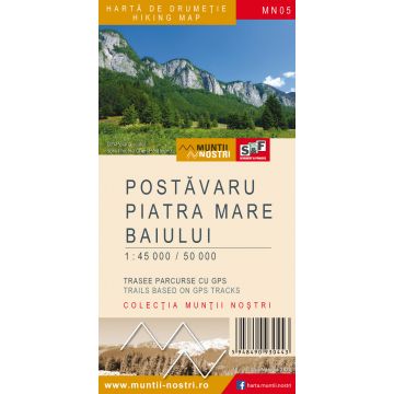
Wanderkarte MN-05, Postăvaru, Piatra Mare, Baiului 1:45.000/1:50.000
Südkarpaten, bei Kronstadt
Tags
Postavaru Massif is part of the Curvature Carpathians, forming the Barsa Mountains together with the neighbouring Piatra Mare Massif. It is located between the Intra-Carpathian Brasov Depression, rising 1,200 m above it, and the steep northern slope of the Bucegi Mountains.
Surrounded by vast lowlands, deep valleys and wide corridors, Postavaru stands out as an imposing massif, even if the maximum elevation does not exceed 1,800 m. To the north and to the west, the Postavaru Massif is bordered by the Brasov Depression and its divisions, Barsa Depression and Zarnesti "Bay". The city of Brasov and its industrial area lie north of the massif. To the east, the picturesque Timis Valley and its many spas separate the massif from the Piatra Mare Massif, which is very similar in terms of landscape. To the south, Paraul Mare stream (Ghimbav Valley) separates the massif from the Bucegi Mountains and to the southeast, the wide Rasnoava Valley (tributary of the Prahova River) separates the massif from the elongated ridge of Clabucetul Baiului.
The name ‘Postavaru’ comes from the name of a sheep owner - Stoica Postavarul from the Romanian Schei neighbourhood in Brasov, from the early eighteenth century. There is a document that states the presence of "Posztovarul sive Christianul" sheepfold, which means that the new owner at the time was Cristian. This explains the name of the highest peak in the Postavaru Massif, Cristianul Mare, also known as Postavaru Peak (1799 m).
Piatra Mare Massif is part of Barsa Mountains, located in the southern part of the Brasov Depression, in the Curvature Carpathians.
The northern boundary of the massif is represented by the depression of Barsa. To the east, Garcin Valley and the eastern steep slope of Piatra Mare are the border to the rounded summits of the Garbova Mountains, being connected through numerous tourist trails. The southern boundary, to the lower mountains of Predeal, follows the upper and middle course of Timisul Sec de Sus stream and the picturesque depression of the Timisul de Sus. To the west, the Timis Valley separates the Piatra Mare massif from the Postavaru Massif.
Although less impressive than the other mountains that surround it, which also makes it more accessible and easier to cross than the others, the elongated ridge of the Piatra Mare Massif ends with the highest peak, also called Piatra Mare, 1,843 m.
Baiului Mountains (also called Garbova Mountains) are in the western part of the Curvature Carpathians. They cover an area of about 300 square kilometers, mostly contained in the upper Prahova and Doftana valley basins. They are clearly separated from the neighbouring landforms by broad valleys, depressions, obvious differences in elevation, differences in ridge physiognomy and so on.
The mountains between Prahova and Doftana (within the boundaries mentioned earlier) are known in terms of geography and tourism as both Baiului and Garbova mountains. The first name is justified by its frequent use as a toponym (Baiul Mare, Baiul Mic, Baiutu, etc.) and hydronym (from the streams which have their origin in these mountains), by the relatively central position of the peaks named like this within the region, as well as by the elevation which reaches almost 1,900 m. The second name is linked to the ‘bent’ appearance of the mountains and the ridges east of Prahova, which seems obvious to the traveller, especially when seen from the ramparts of the Bucegi Mountains.
The map of Postavaru, Piatra Mare and Baiului Mountains (MN05) is the 5th map of the new Muntii Nostri collection.
The map was edited using the latest mapping techniques and it was printed on moisture resistant paper. It is easy to read and simple to use due to the mapping styles, specific to Schubert & Franzke company, and as a result of practical information structuring. It is handy and everything is exactly where it should be. The map is useful for both hiking enthusiasts and professionals.
All the trails have been recorded in the field using a GPS. They are described in detail in both Romanian and English, some trails having representative images attached to them. Each trail has a technical box containing: trail marking checked in the field, trail route, profile with major landmarks, data on difficulty, length, total ascent, total descent, round-trip time, practicability depending on the season and so on. The map also contains the UTM grid, a projected coordinate metric system useful in the quick measurement of distances on the map. Shading and contour lines highlight the landscape and facilitate orientation.
Gewicht:
65 g
Reihe:
Maßstab:
1:45.000
Medienart:
Karten
Sprache:
Englisch, Rumänisch
EAN:
5948490930443
Erscheinungsjahr:
2020
Schreibe deine eigene Bewertung
Noch keine Herstellerangaben und Sicherheitshinweise verfügbar.
