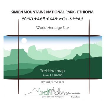
Treknotes Trekking map & miniguide Simien Mountains National Park - Ethiopia 1:120.000
Äthiopien

Tags
World Heritage Site
Trekking map and illustrated miniguide on the back of the map with dotted cells to take notes.
Information and anecdotes on landscape, flora&fauna, history and culture. Tips and curiosities.
8 itineraries proposed, including Mount Ras Dejen and Jimbar Falls.
Trekking map WGS 84 / UTM 37 N, scale 1:120.000, Size: open 50x70 cm, folded 11x12 cm.
Verlag:
Maßstab:
1:120.000
Medienart:
Karten
Sprache:
Englisch
EAN:
9995960000171
Höhe in mm:
110
Breite in mm:
120
Höhe in mm offen:
500
Breite in mm offen:
120
Erscheinungsjahr:
2020
Kontinent: Afrika
Land: Äthiopien
Bundesland / Provinz: Amhara
Region: Semien Mountains, Hochland von Abessinien
Kategorien: Wanderkarten Afrika, Wanderkarten
Schreibe deine eigene Bewertung
Noch keine Herstellerangaben und Sicherheitshinweise verfügbar.