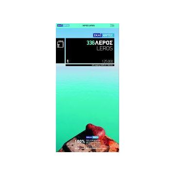
Terrain Map 336, Léros 1:25.000
Südliche Sporaden Südliche Ägäis

Tags
It is the first GIS map of the island, meaning that this is the first time Leros is mapped with a topographic precision in proportion to the map scale.
It is waterproof and rip-proof. You can fold and unfold it a thousand times, fold it in irregular ways, dunk it in the sea or leave it out in the rain. This map is indestructible!
It is the first time the island’s entire coastline is mapped. Cartography was done with TERRAIN’s specially equipped and staffed cartographic vessel. This means that you can locate all beaches of the island, down to the tiniest cove! In fact, the special features of every single beach are recorded: whether it is sandy or pebbled, whether it features natural tree shade, water, a beach bar or organized water sports, whether the seabed in front of the beach is sandy or rocky (so that you will know where to anchor).
It features a complete road network, down to the most insignificant dirt road, so no junction will ever confuse you.
Any trail found was recorded. While there are many trails on Leros, due to the lack of any signposting or maintenance most of them are hard to trace. TERRAIN’s cartographers located them, but preferred not to include them in the map as these trails are literally impassable and hikers would be in trouble. We recorded the 2 or 3 trails in relatively better shape, and we commit to mapping and publishing them in a later edition of the Leros map when local authorities help ameliorate this situation.
Gewicht:
80 g
Verlag:
Reihe:
Maßstab:
1:25.000
Medienart:
Karten
Sprache:
Englisch, Neugriechisch
EAN:
9789606845826
Erscheinungsjahr:
2011
Schreibe deine eigene Bewertung
Noch keine Herstellerangaben und Sicherheitshinweise verfügbar.