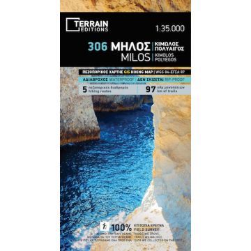
Terrain Map 306, Mílos, Kímolos, Polýeghos/Polýegos 1:35.000
Kykladen

Tags
It is the only GIS map made and updated with data collected 100% through field survey.
The entire trail network of all three islands is accurately depicted, with point-to-point distances, so you can estimate the duration of your hike. On Kimolos, all 7 trails recently cleared and waymarked by a group of local hikers, are shown. Waymarking was done with red/white metal signs, and the same symbol is used to mark the routes on the map. On the reverse side of the map, the 5 best hikes in Milos and Kimolos are presented in detail. These are also labeled on the map so you can easily locate them.
The islands’ entire coastline has been thoroughly mapped for the first time. This means that you can find all beaches of the three islands and surrounding islets, down to the tiniest cove! In fact, the special features of every single beach are shown: whether it is sandy, pebbled or has natural tree shade, whether it is organized, has a beach bar or water sports etc.
Also shown are the Miloterranean Geo Experience routes, a network of signposted routes guiding you through the magnificent geological treasures of the islands. A special symbol denotes the sites of the old volcanic craters. The numerous mining areas throughout Milos and Kimolos are also indicated.
The NATURA 2000 areas are indicated, so that you will know which parts of the island are of special environmental interest and beauty – thus you can enjoy traveling through them, but also take care to protect them.
Moreover, the reverse side features an illustrated mini travel guide, with information on the island’s myths and history, geography and natural environment, sights and major attractions.
Scale/Maßstab: 1:35.000
Edition/Auflage: 4th edition 2023
Printed on PolyArt
Gewicht:
75 g
Verlag:
Reihe:
Maßstab:
1:35.000
Medienart:
Karten
Sprache:
Deutsch, Englisch, Französisch, Italienisch, Neugriechisch, Russisch
EAN:
9789609456166
Erscheinungsjahr:
2023
Kontinent: Europa
Land: Griechenland
Schreibe deine eigene Bewertung
Noch keine Herstellerangaben und Sicherheitshinweise verfügbar.