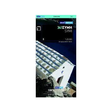
Terrain Island Map 341, Sými 1:20.000
Dodekanes Südliche Sporaden

Tags
For starters, it is the only map of Symi! No other cartographer had bothered creating a map of this remote Greek island in the Dodecanese … Finally, TERRAIN and SKAI created the first reliable map of Symi using GIS technology.
It is waterproof and rip-proof. You can fold and unfold it a thousand times, fold it in irregular ways, dunk it in the sea or leave it out in the rain. This map is indestructible!
It is remarkably detailed, as the 1:20.000 scale makes everything crystal clear!
It is the first time the island’s entire coastline is mapped. Cartography was done with TERRAIN’s specially equipped and staffed cartographic vessel. This means that you can locate all beaches of the island, down to the tiniest cove! In fact, the special features of every single beach are recorded: whether it is sandy or pebbled, whether it features natural tree shade, water, a beach bar or organized water sports, whether the seabed in front of the beach is sandy or rocky (so that you will know where to anchor).
It features a complete road network. Every road, down to the last dead-end dirt road, is featured in the map of Symi with topographic precision.
It features the trails of Symi for the first time, with total precision since the cartographers of TERRAIN walked them one-by-one. The length of all trails is measured in kilometers, allowing you to estimate the duration of your hike, plus detailed descriptions of the 10 most important trails of Tilos are featured on the back.
It indicates the boundaries of NATURA 2000 areas so that you will know which parts of the island are of special environmental interest and beauty – thus you can enjoy traveling through them, but also take care to protect them.
Gewicht:
72 g
Verlag:
Reihe:
Maßstab:
1:20.000
Medienart:
Karten
Sprache:
Deutsch, Englisch, Französisch, Neugriechisch
EAN:
9789606845925
Schreibe deine eigene Bewertung
Noch keine Herstellerangaben und Sicherheitshinweise verfügbar.