Tags
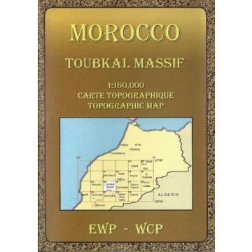
Full colour topographical map covering the Imilchil regions of the High Atlas. Tourist information covering access, main features, trails and glossary. Text in French and English. Inset High Atlas map 1:1,300,000.
Topographische Karte von Marokko im Maßstab 1:160.000. Beschreibungen in Englisch und Französisch.
Verlag:
Maßstab:
1:160.000
Medienart:
Karten
Sprache:
Englisch, Französisch
EAN:
9780906227985
Erscheinungsjahr:
2008
Schreibe deine eigene Bewertung
Noch keine Herstellerangaben und Sicherheitshinweise verfügbar.