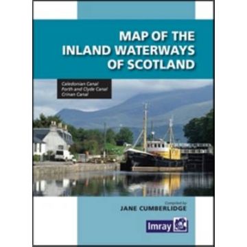
Map of the Inland Waterways of Scotland

A comprehensive reference to the waterways, embellished by the usual notes on dimensions, restrictions and formalities. The map provides all the necessary information for the yachtsman crossing between the east and west coasts of Scotland. On the reverse side, Jane Cumberlidge, who edited the map, has written interesting notes on the background and history of the waterways.
Gewicht:
100 g
Autor:
Reihe:
Medienart:
Seekarten - plano
Sprache:
Englisch
EAN:
9781846235221
Erscheinungsjahr:
2013
Kategorien: Nautik, Revierführer Binnen
Schreibe deine eigene Bewertung
Noch keine Herstellerangaben und Sicherheitshinweise verfügbar.