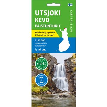
Karttakeskus Outdoor Map Utsjoki, Kevo, Paistunturit 1:50.000
Finnisch-Lappland
Tags
The waterproof outdoor map Utsjoki Kevo Paistunturit covers the Kevo Strict Nature Reserve and Paistunturi wilderness area with surroundings. The scale of the map is 1:50,000 (1 cm on the map = 500 m on the ground).
Kevo Strict Nature Reserve and Paistunturi area have challenges to offer for even an experienced hiker. The core of the area is a rugged canyon, at the bottom of which flows the Kevojoki River. A challenging hiking trail starts in the south point of Sulaoja and, following the canyon, it goes all the way to Kenesjärvi in the north. Day trails around Karigasniemi and Utsjoki villages are also shown, as well as snowmobile and mountain biking routes.
The map is based on a topographic map of the National Land Survey of Finland and has plenty of extra information for hikers and travellers, such as various trails and their lengths, wilderness huts, lean-to shelters, eating places, accommodations and sights.
On the side of the map you will find coordinates for all the wilderness huts managed by Metsähallitus to help locate them with a GPS device. Details on magnetic declination and the coordinate system are also included.
Gewicht:
53 g
Verlag:
Maßstab:
1:50.000
Medienart:
Karten
Sprache:
Deutsch, Englisch, Finnisch, Russisch, Schwedisch
EAN:
9789522666772
Höhe in mm offen:
700
Erscheinungsjahr:
2021
Schreibe deine eigene Bewertung
Noch keine Herstellerangaben und Sicherheitshinweise verfügbar.


