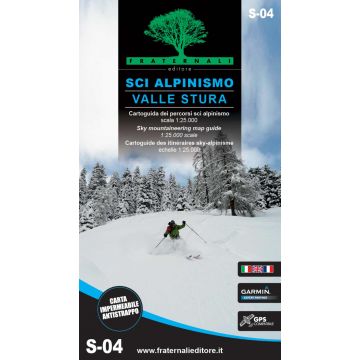
Fraternali Skitourenkarte S-04, Sci alpinismo in Valle Stura 1:25.000
Piemont

Tags
Hier geht's zum interaktiven Blattschnitt der Fraternali-Skitourenkarten!
Ski mountaineering in Valle Stura This Guide by Katia wants to represent a new way of doing Ski mountaineering. With technical data to each tour (such as arrivals/ departures, heights, expositions, difficulty etc.) you can choose the most suitable excursion and consulting the Gps on the map. Therefore, not more heavy guides or not clear maps, now you can have a unique product; a paperguide you can always bring with you and consulting, thanks to the indestructible material. Technical Data Cartography in scale of 1:25.000 All the Ski mountaineering informations organized in specific tables. Printed on both sides, using very light polypropylene sheets, waterproof, tear-resistant and recyclable papers. Waterproof and tear-resistant Cartographic legends, general informations and tables are entirely translated in English. The paper is based on the creation of a complete geographic database, organized on the GIS software with the following levels: Classified Ski mountaineering routes Expositive tables (maximum height, m+, exposition, Blachere scale, Volo scale, departures) Complete road network Woodland and snowy lands Lakes, rivers, canals National, regional, provincial, local borders, national parks Curves of 50m, 10m, 5m equidistance Buildings, industries, churches, cemeteries Military buildings, fortifications Excursional information (shelters, bivouacs, unwatched refuges, climbing walls, equipped areas, places of interest, routes fitted, dangerous passages, etc..) Complete toponymy Railway stations, highway exits Specific elements such us fountains, piles, crosses, access restrictions etc. This paper has also a metric grid shown in a frame according the UTM WGS84 projection.
Ski mountaineering in Valle Stura This Guide by Katia wants to represent a new way of doing Ski mountaineering. With technical data to each tour (such as arrivals/ departures, heights, expositions, difficulty etc.) you can choose the most suitable excursion and consulting the Gps on the map. Therefore, not more heavy guides or not clear maps, now you can have a unique product; a paperguide you can always bring with you and consulting, thanks to the indestructible material. Technical Data Cartography in scale of 1:25.000 All the Ski mountaineering informations organized in specific tables. Printed on both sides, using very light polypropylene sheets, waterproof, tear-resistant and recyclable papers. Waterproof and tear-resistant Cartographic legends, general informations and tables are entirely translated in English. The paper is based on the creation of a complete geographic database, organized on the GIS software with the following levels: Classified Ski mountaineering routes Expositive tables (maximum height, m+, exposition, Blachere scale, Volo scale, departures) Complete road network Woodland and snowy lands Lakes, rivers, canals National, regional, provincial, local borders, national parks Curves of 50m, 10m, 5m equidistance Buildings, industries, churches, cemeteries Military buildings, fortifications Excursional information (shelters, bivouacs, unwatched refuges, climbing walls, equipped areas, places of interest, routes fitted, dangerous passages, etc..) Complete toponymy Railway stations, highway exits Specific elements such us fountains, piles, crosses, access restrictions etc. This paper has also a metric grid shown in a frame according the UTM WGS84 projection.
Gewicht:
108 g
Verlag:
Maßstab:
1:25.000
Medienart:
Karten
Sprache:
Deutsch, Englisch, Französisch, Italienisch
EAN:
9788897465188
Erscheinungsjahr:
2021
Kontinent: Europa
Land: Italien
Bundesland / Provinz: Piemont
Region: Stura-Tal
Orte / Berge / Seen: Demonte
Kategorien: Wintersport, Skitourenkarten
Schreibe deine eigene Bewertung
Noch keine Herstellerangaben und Sicherheitshinweise verfügbar.


