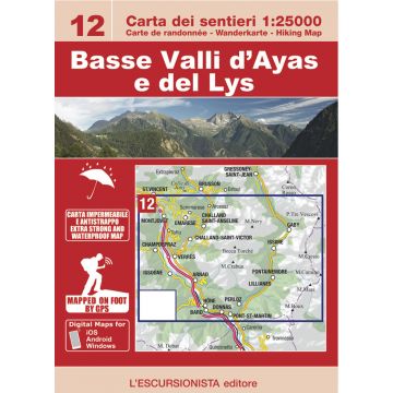
Escursionista-Karte 12, Basse Valli d'Ayas e del Lys 1:25.000
Aostatal
Tags
- Size/Maße: 11x16 (guide-book) - 70x100 (map)
- Pages/Seitenzahl: 64 (guide-book) + 1:25.000 (map)
- Photo: Black & white
- Binding: Stapled
- ISBN: 9788898520886
- Code: ESC12
Gewicht:
170 g
Verlag:
Maßstab:
1:25.000
Medienart:
Karten
Sprache:
Deutsch, Englisch, Französisch, Italienisch
EAN:
9788898520886
Seiten:
64
Höhe in mm:
160
Breite in mm:
110
Höhe in mm offen:
700
Breite in mm offen:
110
Erscheinungsjahr:
2019
Schreibe deine eigene Bewertung
Noch keine Herstellerangaben und Sicherheitshinweise verfügbar.