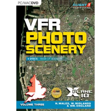
When X-Plane 10 was launched the scenery was given quite an overhaul, the new scenery uses data from OpenStreetMap to create a base for „a plausible world“ which means it kind of looks real, but it isn’t. The cities, for example, are built by an artificially-intelligent city-planning algorithm. Most VFR pilots like to go sightseeing, following major roads, rivers and coastlines usually on some cross-country jaunt with aeronautical charts in hand. Using X-Plane 10 in its native form really wouldn’t be giving you that real world experience. This is where photoscenery comes in. VFR photoscenery has been around for years, even for X-plane, the original series for X-Plane 9 was developed by RC Simulations and has always been a popular product. So what is new with this product from Flight1? Well, it is still developed by RC Simulations but it is has newly re-mastered set of aerial images. The data is supplied by Getmapping PLC at a 1 meter-per-pixel resolution draped over a 10 metre mesh derived from data from Intermap Technologies Inc.