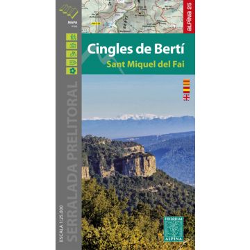
Editorial Alpina Map & Guide E-25, Cingles de Bertí 1:25.000
Katalonien
Sant Miquel del Fai

Tags
• Map / Folder
• Map kit with useful information for hikers
• Contour lines for every 10 m. of elevation difference
• Map with advanced shading and representation of vegetation
• Network of footpaths and sites of touristic interest
• UTM coordinates
• Scale 1:25.000
• Edition 2020 / 2021
• Folder with hiker information
Verlag:
Maßstab:
1:25.000
Medienart:
Karten
Sprache:
Englisch, Katalanisch, Spanisch
EAN:
9788480908450
Erscheinungsjahr:
2020
Kontinent: Europa
Land: Spanien
Bundesland / Provinz: Katalonien
Region: Katalonien, Katalanisches Küstengebirge
Orte / Berge / Seen: Castellcir, Castellterçol, Centelles, Cingles de Bertí, Figaro, Gallifa, Sant Miquel del Fai
Schreibe deine eigene Bewertung
Noch keine Herstellerangaben und Sicherheitshinweise verfügbar.