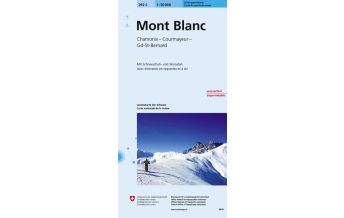
Carta dei sentieri 03, Chamonix-Mont-Blanc, Trient, Courmayeur 1:25.000

Tags
- Size/Maße: 12x17 (guide-book), 70x100 printed on both sides (map)
- Pages/Seitenzahl (des Beihefts): 64 (guide-book) + 1:25.000 (map)
- Photo: Color
- Binding: Stapled
Gewicht:
177 g
Autor:
Verlag:
Maßstab:
1:25.000
Medienart:
Karten
Sprache:
Deutsch, Englisch, Französisch, Italienisch
EAN:
9788898520923
Seiten:
64
Höhe in mm:
170
Breite in mm:
120
Höhe in mm offen:
700
Breite in mm offen:
120
Erscheinungsjahr:
2020
Kontinent: Europa
Orte / Berge / Seen: Mont Blanc, Chamonix, Courmayeur, Grandes Jorasses, Aiguille d'Argentière, Mont Maudit, Aiguilles Rouges, Mont Dolent, Val Ferret, Val Veny, Mont Buet, Aiguille Verte, Cabane du Trient, Mer de Glace, Argentière, Aiguille du Tour, Entrèves, Grande Rochère
Schreibe deine eigene Bewertung
Noch keine Herstellerangaben und Sicherheitshinweise verfügbar.


