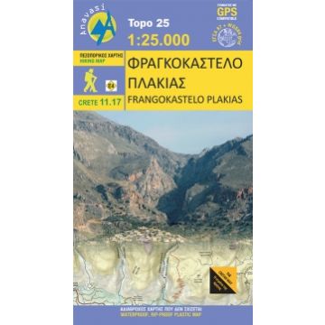
Anavasi Topo Kreta 11.17, Frangokástelo, Plakiás 1:25.000
Kreta
Tags
A new map on the eastern side of the White Mountains, adjacent to the map Sfakia – Pachnes, that extends from the Imbros gorge to the well-known resort of Plakias. On the southern side of this area, facing the Libyan sea, are a series of canyons, starting from the coast and reaching the higher slopes of Mt Angathes and Kryoneritis. A typical landscape of the Sfakia region with rough terrain and rocky, barren slopes. The northern side of these mountains is markedly different, with softer terrain, more vegetation and villages bearing influence of Venetian architecture. Dozens of hiking paths are recorded on the map, mainly in canyons as well as long crossings such as the E4 trail and the new long distance trail "the Cretan Way". The map is printed on waterproof and durable Polyart paper.
Gewicht:
62 g
Verlag:
Reihe:
Maßstab:
1:25.000
Medienart:
Karten
Sprache:
Englisch, Neugriechisch
EAN:
9789609412216
Erscheinungsjahr:
2016
Schreibe deine eigene Bewertung
Noch keine Herstellerangaben und Sicherheitshinweise verfügbar.